The Carlingford Lough Greenway
Updated 17 November 2026
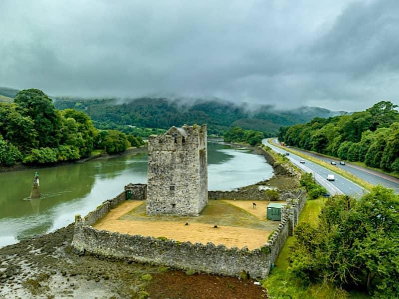
The Carlingford Lough Greenway is a flat, traffic-free path for walking and cycling. On the Northern Ireland side it follows the old canal towpath from Newry towards Victoria Lock and Narrow Water; on the Ireland side it runs along the shore from Omeath to Carlingford. It is one of the easiest ways to enjoy the lough, with the Mournes and Cooleys on either side.
The route
- Newry to Victoria Lock (Northern Ireland): a level towpath beside the Newry Canal and River, ending near the sea lock at Victoria Lock
- Narrow Water: where the Newry River narrows below Narrow Water Castle, just outside Warrenpoint. A new bridge here is planned to join the two sides of the Greenway; check its latest opening news before you plan a crossing
- Omeath to Carlingford (Ireland): about 7 km along the shore of the lough to the medieval village of Carlingford
Read the story of the route in The Greenway.
Tips
It is ideal for families and bikes, as there are no hills. Bike hire is available in Newry and Carlingford in season. Park in Newry, Omeath or Carlingford (Carlingford’s car parks fill early in summer). Start or finish with lunch in Warrenpoint: see restaurants in Warrenpoint.
Stops along the Greenway
1. History & Heritage · Warrenpoint
Narrow Water Castle
Historic 16th-century tower house overlooking Carlingford Lough.
Local tip: Best viewed at sunrise or sunset for dramatic light over the lough
Opening times, directions & more →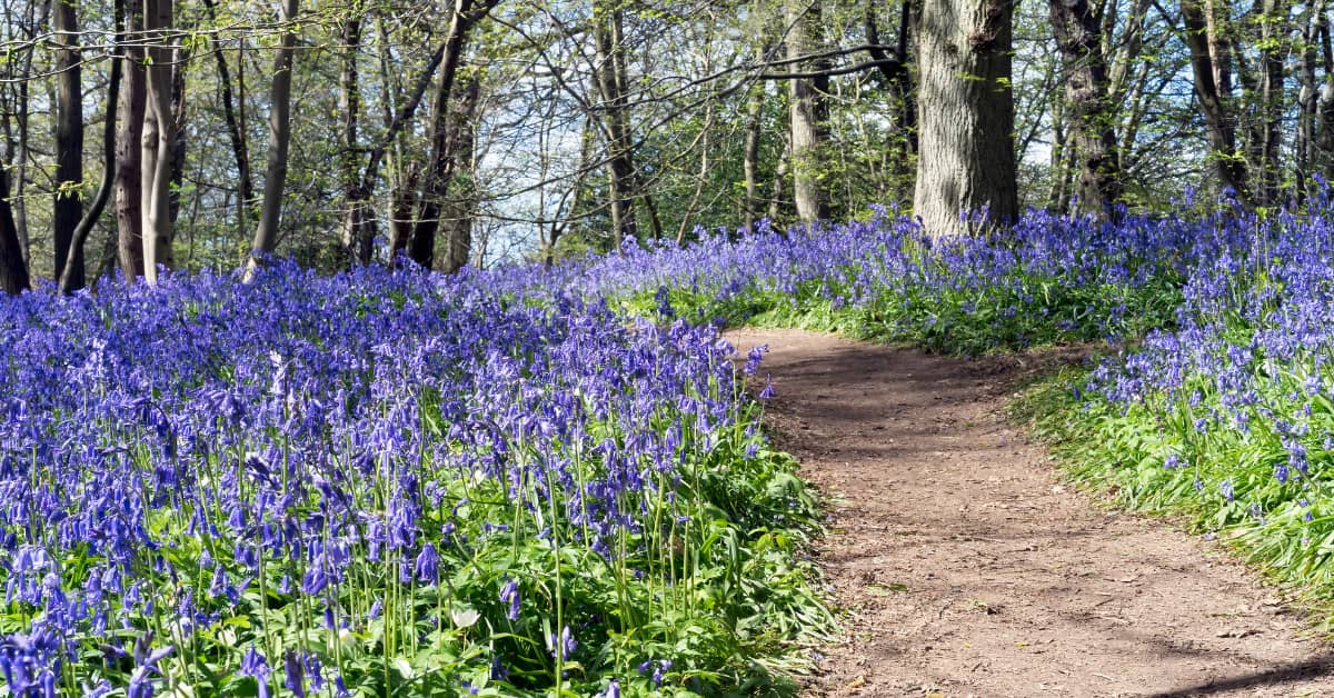
2. Walks & Outdoors · Warrenpoint
Narrow Water Forest
Peaceful woodland walks above the Newry River, just outside Warrenpoint.
Local tip: Ruined stonework turning up among the trees gives an ordinary woodland stroll a real sense of discovery, right on Warrenpoint's doorstep.
Opening times, directions & more →
3. Attractions · Newry
Flagstaff Viewpoint
Stunning panoramic views across Carlingford Lough
Opening times, directions & more →4. Beaches & Coast · Carlingford
Carlingford Shore
A protected stretch of lough shore between Carlingford and Omeath.
Opening times, directions & more →5. Beaches & Coast · Carlingford
Carlingford Harbour
The little harbour below King John's Castle, at the heart of Carlingford.
Opening times, directions & more →6. History & Heritage · Carlingford
King John's Castle
A Norman castle on a rock above Carlingford harbour, looking across the lough to the Mournes.
Local tip: Old stone walls, a harbour below and the Mournes across the water make the history feel vivid and close at hand.
Opening times, directions & more →7. Beaches & Coast · Carlingford
Carlingford Marina
Carlingford's marina, on the lough just north of the village.
Local tip: Waking up to the lough on your doorstep, with the village an easy stroll away, is a lovely way to see Carlingford.
Opening times, directions & more →
Frequently asked questions
Where does the Carlingford Lough Greenway start?
In Newry, beside the canal, on the Northern Ireland side, and in Omeath on the Ireland side, from where it runs about 7 km to Carlingford.
How long is the Greenway from Omeath to Carlingford?
About 7 km (4.5 miles) each way, flat and traffic-free: around 1.5 hours’ walk or 30 minutes by bike.
Can you cycle from Newry to Carlingford?
You can cycle the Newry and Omeath–Carlingford sections of the Greenway. Crossing between them depends on the new Narrow Water bridge, so check the latest news before you set off.