The Mourne Mountains Peaks: Names, Heights & Map
Updated 17 November 2026
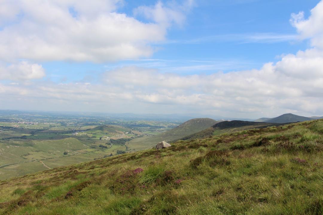
The Mourne Mountains are a compact range of granite peaks in County Down. The highest is Slieve Donard (850 m), followed by Slieve Commedagh, Slieve Binnian and Slieve Bearnagh. The 22-mile Mourne Wall links many of the summits. Here are the main peaks with their heights, and which ones to climb first.
The highest Mourne peaks
- Slieve Donard – 850 m, the highest in Northern Ireland
- Slieve Commedagh – 767 m
- Slieve Binnian – 747 m, famous for its granite tors
- Slieve Bearnagh – 739 m, with tors on the summit
- Slieve Meelbeg – 708 m
- Slieve Lamagan – 704 m
- Slieve Meelmore – 680 m
- Slieve Muck – 674 m
- Slieve Martin – about 485 m, above Rostrevor and the Cloughmore stone
Heights are rounded; maps differ by a metre or two.
The Mourne Wall
The Mourne Wall is a dry-stone wall about 22 miles (35 km) long, built between 1904 and 1922 to enclose the catchment of the Silent Valley reservoir. It crosses 15 summits, including Donard, Commedagh, Bearnagh, Meelmore, Meelbeg and Binnian. Walking its whole length in a day is a famous challenge for very fit walkers.
Which peak should I climb first?
For a first Mourne hill, Slieve Binnian from Carrick Little or Slieve Muck are good choices. For the big one, see how to climb Slieve Donard. Closest to Warrenpoint, the Cloughmore stone and Slieve Martin give huge views for much less effort.
Mourne Mountains maps
Use a proper walking map: the OSNI Activity Map of the Mournes (1:25,000) or Harvey’s Mourne Mountains map. Phone apps are useful, but batteries die in the cold and signal is patchy in the valleys.
The peaks, highest first
1. Walks & Outdoors · Mournes
Slieve Donard
The highest mountain in Northern Ireland, rising straight from the sea above Newcastle.
Local tip: Standing on the highest point in Northern Ireland, with the sea right below you, is a memorable thing to tick off.
Opening times, directions & more →2. Walks & Outdoors · Mournes
Slieve Commedagh
The second-highest peak in the Mournes, right next door to Slieve Donard.
Local tip: It gives you the drama of the high Mournes alongside Donard, often with a little more room to enjoy the views yourself.
Opening times, directions & more →3. Walks & Outdoors · Mournes
Slieve Binnian
A rugged ridge of granite tors with views down over the Silent Valley and Ben Crom reservoirs.
Local tip: Scrambling among the weathered granite tors feels wild and memorable, and the reservoir views from the ridge are hard to beat.
Opening times, directions & more →4. Walks & Outdoors · Mournes
Slieve Bearnagh
A Mourne favourite crowned with dramatic granite tors, with the Mourne Wall running over its summit.
Local tip: Those jagged granite tors make the summit feel wild and rugged, and standing beside them is one of the great Mourne moments.
Opening times, directions & more →5. Walks & Outdoors · Mournes
Slieve Meelbeg
A quieter Mourne summit on the line of the Mourne Wall, with wide views over the western Mournes.
Local tip: It offers big Mourne views with fewer people around, so you can enjoy the hills at your own pace.
Opening times, directions & more →6. Walks & Outdoors · Mournes
Slievelamagan
A steep, rocky peak in the heart of the Mournes overlooking Ben Crom.
Local tip: It puts you right in the middle of the Mournes, surrounded by peaks, far from the busier paths.
Opening times, directions & more →7. Walks & Outdoors · Mournes
Slieve Meelmore
A Mourne Wall summit often paired with Slieve Meelbeg and Slieve Bearnagh.
Local tip: Linking it with neighbouring summits makes for a satisfying ridge day with a panoramic outlook across the heart of the Mournes.
Opening times, directions & more →8. Walks & Outdoors · Mournes
Slieve Muck
A broad Mourne summit near the source of the River Bann, with views to Spelga.
Local tip: It offers a satisfying, atmospheric Mourne summit with a sense of being out in the wilder western side of the range.
Opening times, directions & more →9. Walks & Outdoors · Mournes
Eagle Mountain
A quieter peak in the western Mournes, away from the busier summits.
Local tip: Few places in the Mournes feel this peaceful, and the cliffs and coastal views make the effort feel thoroughly earned.
Opening times, directions & more →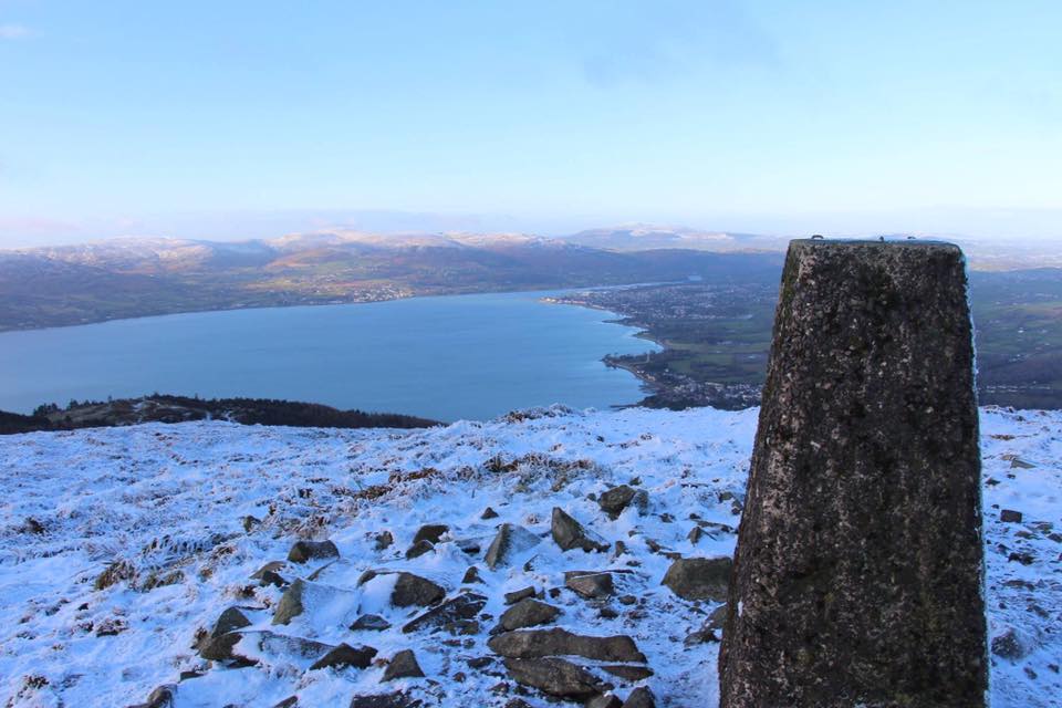
10. Walks & Outdoors · Rostrevor
Slievemartin
The hill above Rostrevor, home of the Cloughmore stone and big views over the lough.
Local tip: Stepping out of the trees onto the open hillside, with the lough spread out below, feels like a proper reward for the climb.
Opening times, directions & more →11. Walks & Outdoors · Mournes
Knockchree
The wooded hill above Kilkeel with views over the coast and Carlingford Lough.
Local tip: It offers a mountain-sized view for a modest effort, ideal when you want a proper outlook without committing to a full day.
Opening times, directions & more →12. Walks & Outdoors · Annalong
Mourne Wall
A 22-mile dry-stone wall that climbs over 15 Mourne summits — an astonishing feat of hand labour.
Local tip: Standing beside it on a summit, you get a real sense of the sheer hand labour that went into building it across the mountains.
Opening times, directions & more →
Frequently asked questions
What is the highest mountain in the Mournes?
Slieve Donard, at 850 m (2,790 ft). It is also the highest mountain in Northern Ireland.
How many mountains are in the Mournes?
There are dozens of named hills. The best-known peaks are Slieve Donard, Commedagh, Binnian, Bearnagh, Meelbeg, Lamagan, Meelmore and Muck, and the Mourne Wall crosses 15 summits.
How long is the Mourne Wall?
About 22 miles (35 km). It was built between 1904 and 1922 and crosses 15 summits.
What is the best map of the Mourne Mountains?
The OSNI Activity Map of the Mournes at 1:25,000, or Harvey’s Mourne Mountains map.