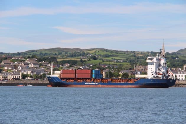
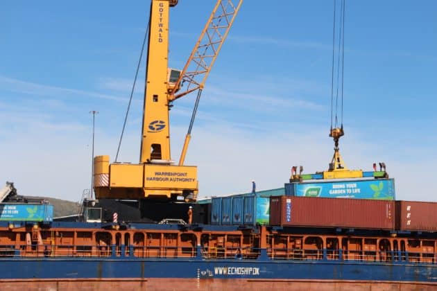
Warrenpoint Harbour Authority Port Masterplan 2018- 2043

Warrenpoint Harbour Authority have published their masterplan setting out their strategic objectives for the next 30 years.
The masterplan is a 36 page document – we have provided a link below – we have an opportunity to speak to the harbour authority at the two public consultation days about any issues that we have.
IMPORTANT!
There are two public consultation days
Wednesday 2nd May and Thursday 3rd May
12pm-8pm Town Dock office (located beside First and Last Bar)
It is vital that you read the document – download here – and attend the public consultation.
Warrenpoint’s port is unusual in that it is centred so close to the town centre where many of us live, work and shop.
Our area is one of outstanding beauty with much potential for tourism with thousands of visitors coming to our town for the Wake The Giant and Blues Festival
The masterplan sets out the significant economic impact that the harbour has had in terms of employment and revenue generated to the local economy.
The Harbour states:
Engagement with local schools, sports clubs and entrepreneurial projects, in addition to the hiring of a local workforce and heightened awareness of the environmental implications of port activities, have all contributed to an influential social position.
You will see from the masterplan there is significant expansion planned – what impact does that have on the town of Warrenpoint with the need for more space and increased heavy vehicle traffic?
The port has handled 3.56 million tonnes of cargo in 2017 valued at £6.2 Billion.
In the masterplan the port states that it’s intention is to be:
- A good neighbour;
- A responsible conservator of the Lough and environment;
- and A regeneration agent working in partnership with the community to grow tourism
Do you feel that the Harbour Authority has been successful in meeting these objectives to date?
Is tourism and industry something that is mutually compatible in such close proximity?
An online campaign by the local community resulted in the withdrawal of a hazardous waste facility application to be located at Warrenpoint Harbour last year.
There is plans on the proposals to remove the railing on the square to allow people to have access to the water’s edge which would be a nice feature on the Square.

Newry Southern Relief Road
Central to the Warrenpoint Harbour Authority Masterplan is the construction of the Southern Relief road joining the A1 Dublin Road dual carriageway and A2 Warrenpoint Road dual carriageway. Currently, haulage lorries have to pass through Newry to access the dual carriageway leading to Warrenpoint Harbour.
It is obvious that Newry’s road infrastructure was not designed to facilitate the sheer volume of traffic that enters Newry everyday for shopping trips, transporting children to schools and people travelling to work.
The Department for Infrastructure call it:
The conflict between strategic and local traffic contributes to the congestion
For many local people, the construction of a bridge at Narrow Water is their preferred option. This, however, would not be of benefit to Warrenpoint Harbour as it would not provide access to heavy goods vehicles.
Is it a choice, relief road or bridge?
Check out the masterplan HERE
We would love to hear your comments!
[arve url=”https://www.youtube.com/watch?v=aAlzYJ7_vik” /]
PLEASE READ:
Consultation on the proposed Marine Plan for Northern Ireland
